University of Saskatchewan
Smart Water Systems Laboratory
The SWSL facility is the base for deployable systems such as the drone mounted and terrestrial lidar, multispectral and hyperspectral, optical, thermal, and IR cameras, along with traditional survey equipment, to generate baseline and time-sensitive data on land surface processes during snow and snow-free seasons to transform the observation of Canadian waters by detecting changes in water quantity and quality at high resolutions.
Benefits of SWSL data:
• New capabilities for measuring and forecasting water quality and quantity.• Increased ability to predict the threat of disaster from floods and droughts.
• Information for communities and industries to reduce and manage their flood risk.
• Information for farmers and ranchers to manage drought impacts on food production.
• New opportunities to develop environmental technologies in Canada.
Lab Equipment
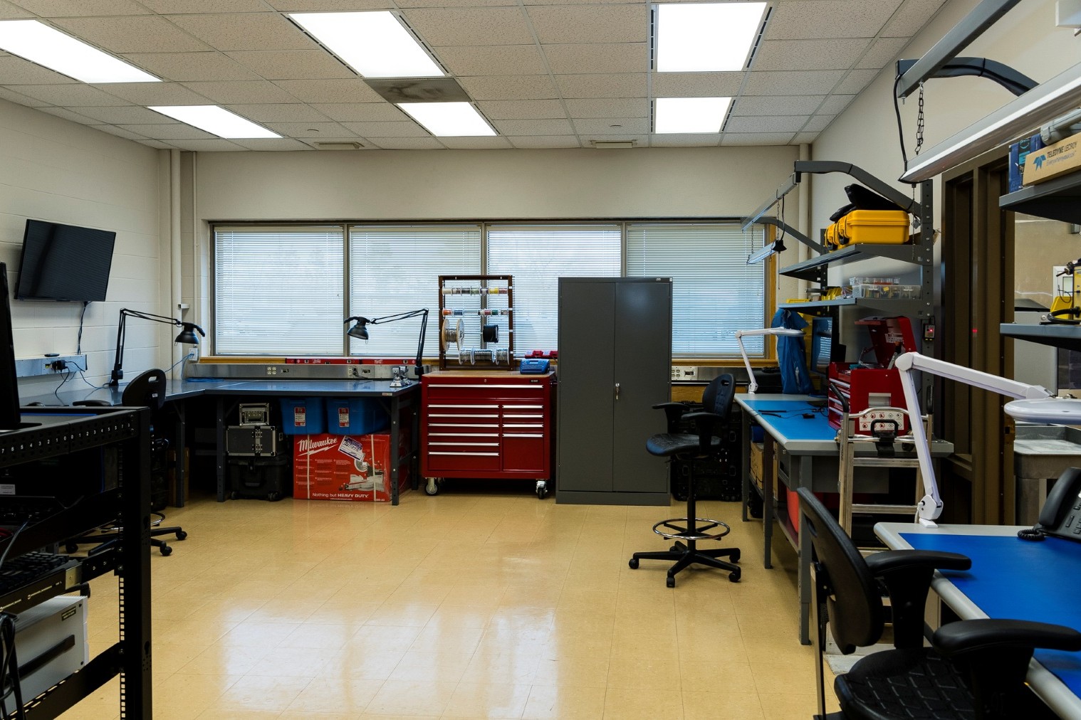
• 3 Permanent workstations (Students, Researchers and Scientists)• Novatel Base station (roof mounted continuous operation) (PwrPak7)
• Stratasys 3d Printer (Model F370)
• Portable 3d scanners (Artec 3D Spider and Eva models)
• Espec Environmental Chamber
• Custom Computer and Server systems
• Portable diagnostic electronics station
• Reflow Oven and Stencil printer
• Virtual Reality (VR) devices (x3)
Deployable Systems
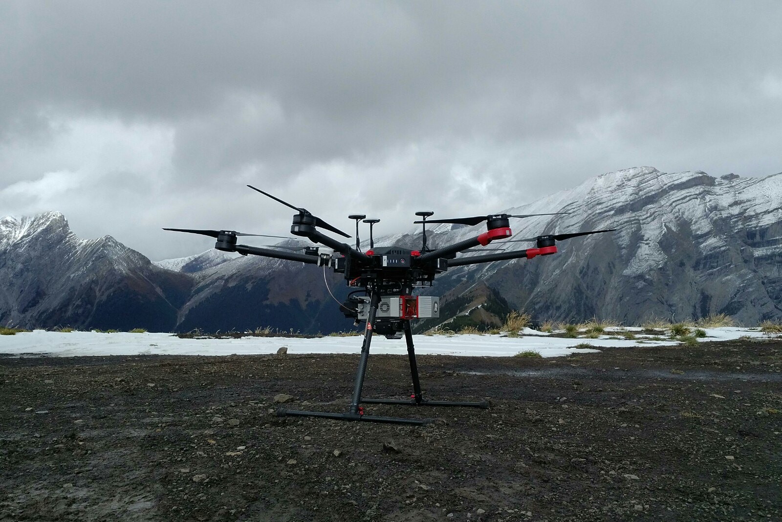
Drone: DJI M600 ProSensors: Riegl Mini Vux-1, Sony RGB Sensor Description: Lidar Mapping unit with Integrated Sony 24mp camera Capabilities: Class 1 laser product capable of producing 100,000 shots per second in a 360 degree field of view. IMU data is 200 hz. Data is post processed in Applanix and Riegl softwares. Products include .las files that are elevation colored, Intensity scale or RGB colorized. Wavelength: 905nm, 380nm-740nm |
SWSL-DS-1 |
Drone: DJI M600 ProSensors: Corning Hyperspectral CameraSensor Description: Push-broom Line Imaging Spectrometer Capabilities: Produces continuous imaging of narrow spectral bands over a spectral range Wavelength: 400nm-1000nm |
SWSL-DS-2 |
Drone: DJI Mavic 2 ProSensors: RGB cameraSensor Description: Hasselblad 20mp camera Capabilities: Still imagery and video files are created using the 20MP camera. Products are jpeg and MP3 files Wavelength: 400nm-700nm |
SWSL-DS-3 |
Drone: eBee RTKSensors: SodaSensor Description: Aerial RGB Photogrammetry camera Capabilities: Aerial photos that can be used in the SfM softwares to produce data files capable of producing DEM through external software packages Wavelength: 380nm-740nm |
SWSL-DS-4 |
Drone: eBee XSensors: 3D Soda, Duet T, and S110 NIRSensor Description: Gimbal Aerial RGB Photogrammetry camera, Dual Aerial RGB Photgrammetry and thermal mapping camera / 12mp Canon near infrared (NIR) band camera Capabilities: Thermal, NIR and RGB images are produced and avalable for post processing. Flight time up to 75 min. Wavelength: 380nm-740nm, 7.5µm-12.5µm, G-550nm R-625nm NIR-850nm |
SWSL-DS-5 |
Drone: eBee XSensors: Duet TSensor Description: Dual Aerial RGB Photogrammetry and thermal mapping camera Capabilities: Thermal and RGB Images are collected and are processed using the Pix4D software Wavelength: 7.5µm-12.5µm |
SWSL-DS-6 |
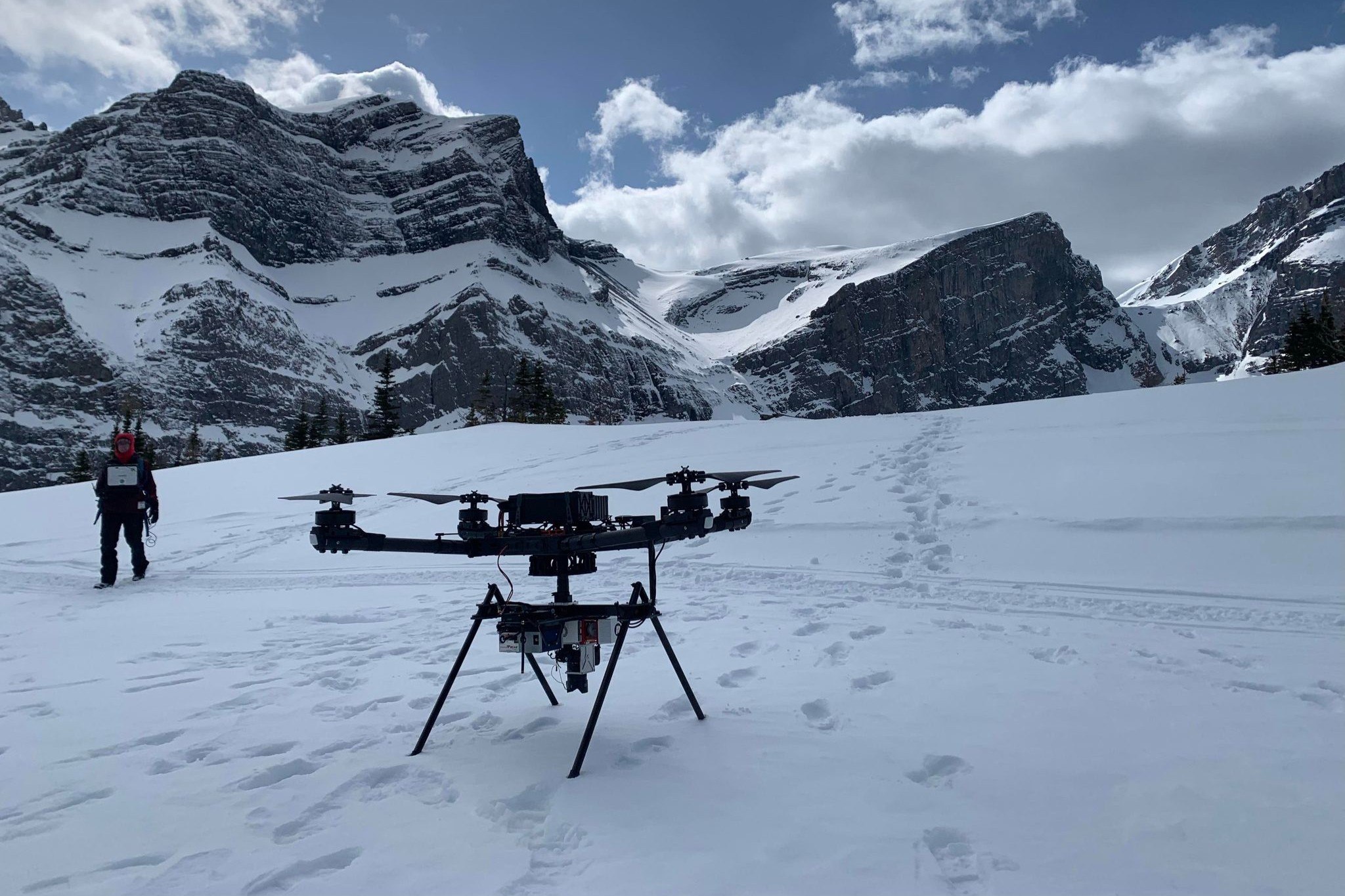
Drone: ALTA XSensors: Riegl MiniVux-2UAV/ Sony Alpha 7RIII /TetraCam Multispectral with thermal Camera Sensor Description: Lidar Mapping unit with Integrated Sony 42mp camera and a Multispectral 6 narrow band camera array with thermal camera option Capabilities: Class 1 laser produce capable of producing 200,000 shots per second in a 360 degree field of view. IMU data is 200 hz. Data is post processed in Applanix and Riegl softwares. Products include .las files that are elevation colored, Intensity scale or RGB colorized Wavelength: 905nm, 380nm-740nm / 450nm-1000nm / 7.5µm-13.5µm |
SWSL-DS-7 |
G16 Leica Base station with Rover |
SWSL-DS-8 |
Technician required (x2) |
SWSL-DS-9 |
Lidar data processing |
SWSL-DS-10 |
Imagery/colorization of lidar /DEM generation |
SWSL-DS-11 |
Hand held 3d scanner (in lab use) |
SWSL-DS-12 |
Statasys F370 3D printer includes material |
SWSL-DS-13 |